Thanks to their work, future expeditions will have fundamental information to adapt the ascent strategy to the mountain, choose the best places to set up the altitude camps, quantify exactly how much material is needed or know where to set up the material deposits among others.
The K2 as never seen before
Alex Txikon’s expedition to K2 in 2018 not only represented one of the closest attempts to conquer the planet’s second highest peak in winter, it also allowed the Basque climber to carry out important mapping and research work on the ascent through the Abruzzo route. Now, Alex wants to share this unprecedented information to help future expeditions.
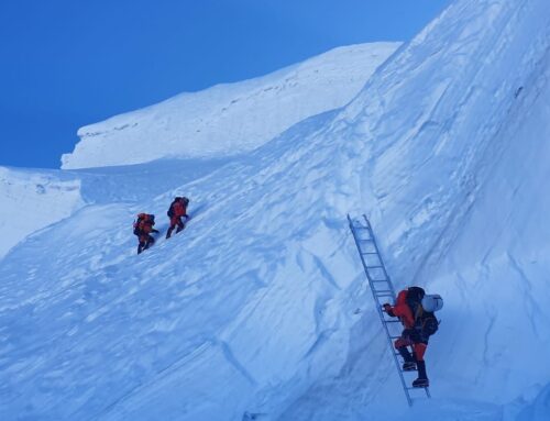
When climbing any mountain, it is essential to have as much detailed information as possible. And if we’re talking about climbing an eight-thousander like K2 (the second highest mountain on Earth at 8,611 meters), this information can make the difference between success and failure, or even life and death. Any climber knows that all previous data is not enough. It is always necessary to have more for the climb to be as safe as possible. And this is where a job like the one done by the Basque climber becomes vital. Thanks to the latest technology from Garmin, DLR and Racetracker, Txikon photographed and recorded in the 2018-2019 winter expedition all and each one of the rope lengths and meetings he made in his ascent to K2 through the Abruzzo route. The information, never before compiled with such a level of detail, will serve for future expeditions to adapt the ascent strategy to this mountain, choose the best places to establish the high altitude camps, quantify exactly the amount of material that may be needed or know where to establish the material deposits.
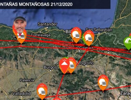
To collect all this valuable information, Alex used top-level technology, something essential in this type of adventure. Garmin provided him with two devices: the Inreach (a satellite geo-location instrument that also allows sending and receiving text messages anywhere in the world) and the Garmin Fenix watch. The data collected by these two devices was cross-referenced with the data obtained by Txikon and, thanks to this, all the information he now wants to share with the world has been defined.
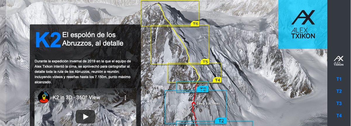
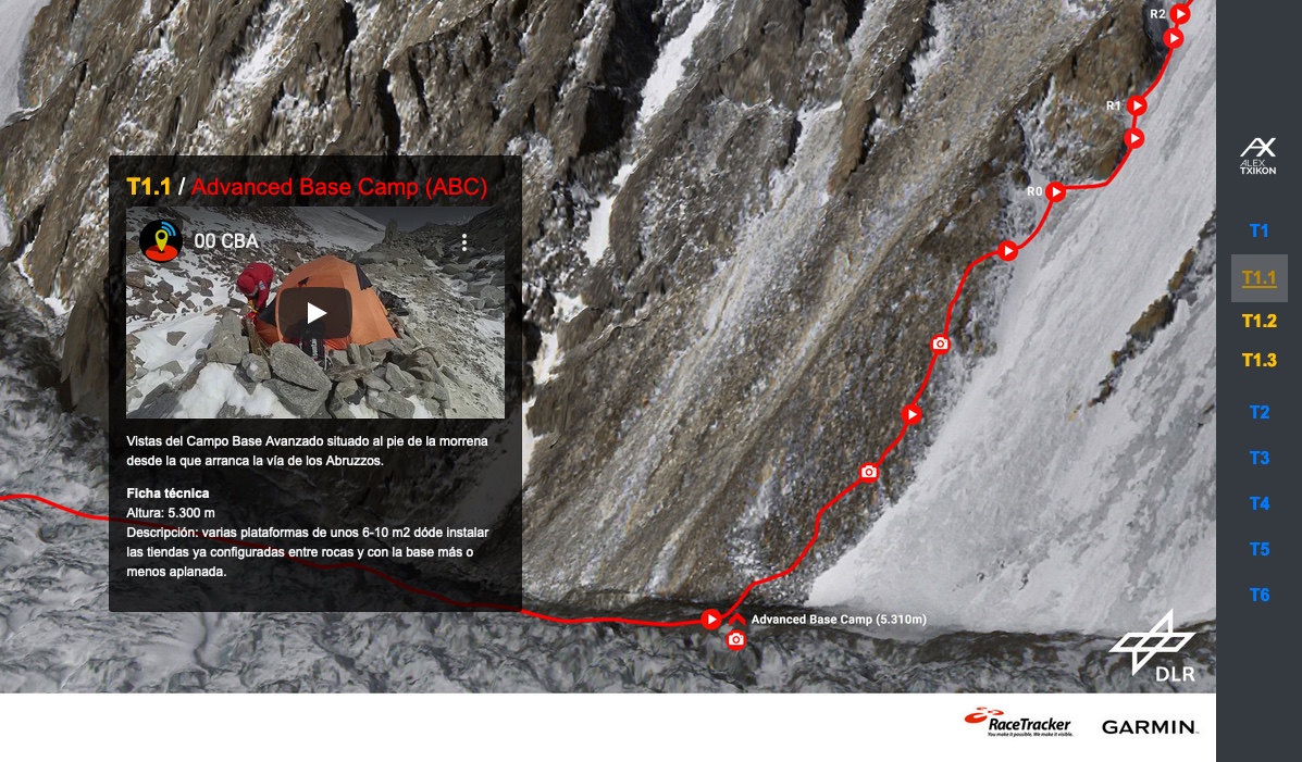
To graphically locate all this data, the German Aerospace Center DLR provided satellite images and a 3D reproduction of the K2 mountain. In this way, with a simple glance, the user can check in detail the Abruzzo ascent route, which is the one the Basque climber has documented. Finally, thanks to the services of the Catalan company RaceTracker, an infographic has been created and all the obtained information has been detailed with all the luxury of details, offering a unique experience and interaction both to the general audience and to the climbers and professional expeditions that intend to ascend the K2. Translated into Spanish and English, it is intended to be an important source of information for future expeditions such as the next winter expedition to K2 led by Ssergi Mongote, which will take place this next winter 2020-2021. A unique project on the second highest mountain in the world that brings the technology of the present to an innovative way of knowing the planet and the mountains.
Now the project sees the light in revistaoxigeno.es, where the cartography of the classic route to K2 through the Abruzzo spur will be permanently available to you. Alex explains in this video how he documented the project:
Fuente: Revista Oxígeno